Dostum
Co-Admin


Cinsiyet : 
Mesaj Sayısı : 460
Tecrübe : 898
Teşekkür Almış : 10
Kayıt tarihi : 08/11/09
 |  Konu: Global.Mapper.v11.01.DC011110.x86.Regged-REDT Paz Şub. 14, 2010 3:00 pm Konu: Global.Mapper.v11.01.DC011110.x86.Regged-REDT Paz Şub. 14, 2010 3:00 pm | |
| Global.Mapper.v11.01.DC011110.x86.Regged-REDT 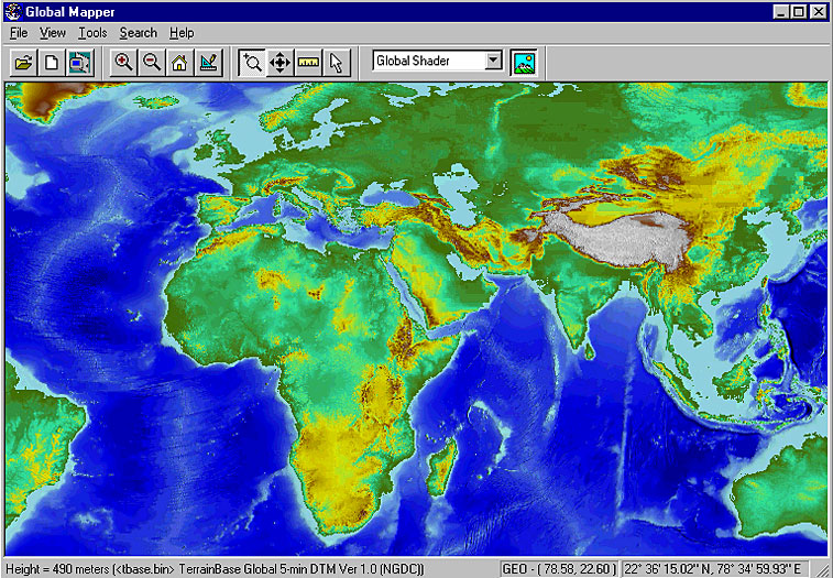 Global Mapper is more than just a utility; it has built in functionality for distance and area calculations, raster blending, feathering, spectral analysis and contrast adjustment, elevation querying, line of sight calculations, cut-and-fill volume calculations, as well as advanced capabilities like image rectification, contour generation from surface data, view shed analysis (including Fresnel) from surface data, terrain layer comparison (including differencing), and triangulation and gridding of 3D point data. Repetitive tasks can be accomplished using the built in scripting language or comprehensive batch conversion functionality. Have you ever received a dataset that does not match the projection of your current project? Simply load the dataset into Global Mapper, change the projection, and save the file to match your coordinate system. If the dataset is larger than the area you are interested in, export the data using the crop feature and change the projection and format of the data at the same time. Your data files can be loaded as layers, for example a Digital Elevation Model (DEM) can be loaded with a scanned topographical map to create a 3D view of the map. A digital aerial image can be draped on the surface together with vector contour mapping to create a stunning and informative graphic. The results can be printed, or the workspace can be exported to a high resolution raster image for use in a presentation or report. INSTALL NOTES 1. read nfo 2. unpack 3. install 4. use our serial [Linkleri görebilmek için üye olun veya giriş yapın.] | |
|


